

Start here
What Geography Actually Covers in School
Build vocabulary
Key Concepts Your Child Will Encounter
Primary focus
Primary School Geography: Ages 5-11
Secondary focus
Secondary School Geography: Ages 11-16
Take action
Low-Effort Ways to Reinforce Geography at Home
What Geography Actually Covers in School
Many parents picture geography as memorizing capital cities. In reality, the subject is far broader - it asks children to understand why the world looks and works the way it does, not just what it's called. School geography sits at the intersection of science, social studies, and critical thinking.
The curriculum is generally split into two strands that run through every school year:
- Physical geography - the natural world: landforms, rivers, climate, ecosystems, and natural disasters.
- Human geography - how people live: settlements, trade, migration, land use, and how communities adapt to their environments.
A third thread - geographical skills - runs alongside both. This includes reading and creating maps, interpreting data, using digital tools like satellite imagery, and conducting fieldwork. For subject-specific study strategies that apply across geography and other core subjects, see our guide on subject-specific study strategies.
Key Concepts Your Child Will Encounter
Before diving into grade-level content, it helps to know the recurring ideas that geography keeps returning to throughout schooling.
Physical geography
The study of the Earth's natural features - landforms, rivers, climate, and ecosystems - and the processes that shape them over time.
Human geography
The study of how people interact with their environments, including where they live, how settlements develop, and how economies and cultures differ across places.
Biome
A large region of the Earth defined by its climate and the plants and animals that live there - for example, tropical rainforest, desert, or tundra.
Tectonic plates
Large sections of the Earth's outer shell that move very slowly over time. Their movement causes earthquakes, volcanic eruptions, and the formation of mountain ranges.
Globalisation
The process by which countries become increasingly connected through trade, communication, travel, and shared culture, making the world feel more interdependent.
Fieldwork
Geographical investigation that takes place outdoors in a real location - for example, measuring river flow or surveying land use in a town - rather than in a classroom.
Understanding these concepts as a parent means you can spot when they appear in everyday life and point them out - which is often more effective than formal revision.
Primary School Geography: Ages 5-11
Primary geography moves outward in concentric circles: children start with their own street and town, then widen their view to their country, continent, and eventually the globe.
Early primary (ages 5-7)
At this stage, children learn the names and locations of the world's continents and oceans, identify the four cardinal directions, and compare their local area to a contrasting location - for example, a UK child might compare their town to a coastal village or a settlement in another country.
Upper primary (ages 7-11)
Children begin working with physical processes: rivers, volcanoes, earthquakes, and weather patterns. They study biomes - such as rainforests and deserts - and explore human themes like why cities grow where they do and how trade connects different countries. Map reading becomes more technical, including grid references and scale.
This is also when children start drawing on geographical data - rainfall charts, population graphs - which overlaps with maths skills. If you're supporting numeracy alongside geography, our article on maths at home offers complementary strategies.
Secondary School Geography: Ages 11-16
At secondary level, geography becomes more analytical. Students are expected to explain processes, evaluate evidence, and make judgements - not just describe what they see.
Key themes at secondary level
- Tectonic hazards - plate movement, earthquakes, volcanoes, and human responses to natural disasters.
- Climate and ecosystems - tropical rainforests, cold environments, and the ways climate shapes human activity.
- Urban geography - how cities grow, inequality within cities, and urban challenges in both wealthier and lower-income countries.
- Development and globalisation - why living standards differ globally, trade relationships, and the role of international organisations.
- Resource management - water, food, and energy security as global challenges.
Make Revision Fieldwork-Friendly
If your child has upcoming fieldwork or coursework, a short local walk can serve as effective revision. Identify land use (residential, commercial, green space), observe drainage patterns after rain, or note how the landscape changes across a short distance. Connecting classroom vocabulary to visible, real examples is one of the most effective ways to consolidate geographical understanding.
GCSE (or equivalent) geography also includes assessed fieldwork, where students gather and analyse data outside the classroom. Familiarising yourself with local geography - river features, land use changes nearby - can make fieldwork preparation feel less abstract.
Geography shares considerable ground with science at this level. If your child struggles with related science content, our breakdown of confusing science concepts addresses overlapping ideas in plain language.
Low-Effort Ways to Reinforce Geography at Home
Geography is unusually well-suited to informal reinforcement because the real world is the subject. You don't need worksheets or specialist knowledge to make a meaningful difference.
Daily habits that build geographical thinking
- Use news stories as a map exercise. When a story mentions a country or city, find it together on a map or globe. Ask: what do you already know about this place?
- Talk about weather meaningfully. Instead of just checking the forecast, ask why your region has its climate, or compare it to somewhere else.
- Cook meals from other countries occasionally and talk about where ingredients come from and the trade routes that bring them to your store.
- Use Google Earth freely. Satellite imagery lets children fly over mountain ranges, river deltas, and cities - making abstract textbook content concrete.
Connecting geography to reading and writing
Geography rewards students who can write clearly and analytically. Encourage your child to explain geographical processes in their own words - verbally at first, then in short written responses. This mirrors exam technique and builds comprehension. For ideas on building this kind of cross-subject discipline, see building consistent study habits across subjects.
Many high-quality geography resources are also completely free. Our free learning tools hub collects options vetted for home use, including interactive maps and curriculum-aligned video content.
Frequently Asked Questions
School geography is generally split into physical geography (landforms, weather, ecosystems) and human geography (population, cities, economies, culture). Most curricula weave both together rather than treating them as separate subjects.
In most US and UK curricula, geography begins in the early primary years - often around age 5 or 6 - starting with immediate surroundings and expanding outward to countries and continents as children progress.
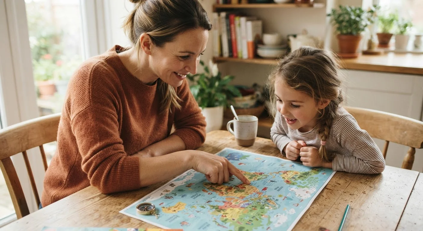
You don't need expertise - curiosity helps more than knowledge. Pointing out places on a map during news stories, discussing weather, or cooking a dish from another country all build genuine geographical awareness naturally.
A map is a single representation of a specific area, theme, or scale. An atlas is a bound collection of maps covering different regions, topics, or scales, often with additional statistical information.
Yes - geography overlaps with science (climate, ecosystems), history (how landscapes shaped civilizations), maths (data interpretation, scale), and even English (reading complex non-fiction texts and reports).
Several free resources exist, including Google Earth, National Geographic Kids online, and government-produced educational map resources. Our free learning tools hub lists options vetted for home use.
The content provided on our blog site traverses numerous categories, offering readers valuable and practical information. Readers can use the editorial team’s research and data to gain more insights into their topics of interest. However, they are requested not to treat the articles as conclusive. The website team cannot be held responsible for differences in data or inaccuracies found across other platforms. Please also note that the site might also miss out on various schemes and offers available that the readers may find more beneficial than the ones we cover.